11 most controversial images from Google Maps and Earth View
Posted by staff / May 16, 2013 controversial imagesEarth ViewGoogle EarthGoogle Maps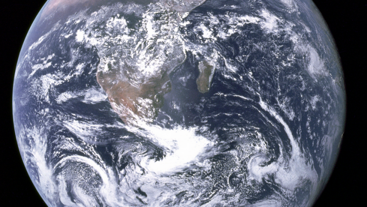
–
Now here’s a fascinating tidbit, never occurred to me before: in countries with strife (and even without), people are using Google Maps and Earth View to take a look at sites previously hidden from their eyes.
As one example from this great article, there’s an area in Bahrain that’s incredibly over-crowded situated right next to an empty area owned Bahrain’s ruling families. Way to cause social unrest, Ruling Family.
And in another amazing example, someone noticed that an Israeli city of Kiryat Yam was tagged with the name of an Arab village that was there before it. That city then sued Google for libel.
Here’s another:
China and India have a number of different border disputes. In 2009, Google Maps fell into the center of this after Indian bloggers noticed that the place names in the disputed area of Arunachal Pradesh had appeared in Chinese characters.
Google now tries to keep out of these disputes by offering different maps for different regions.
See 8 other interesting examples here: Business Insider.
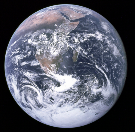
Photo credit: “The Blue Marble”, NASA, WikiCommons


spies vs spies
using the Sears old Bait and Switch method to get people to read your stuff. Shameful!