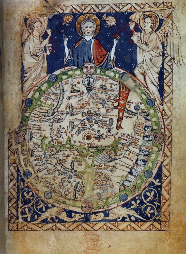
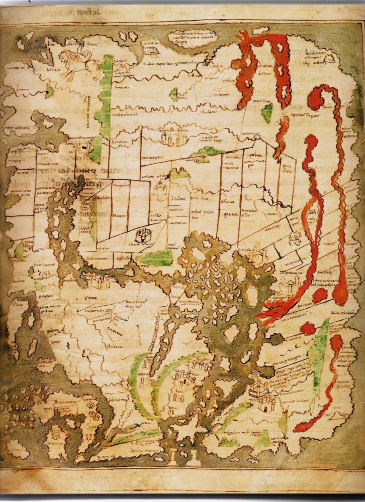
Maps of medieval times
Posted by staff / March 22, 2014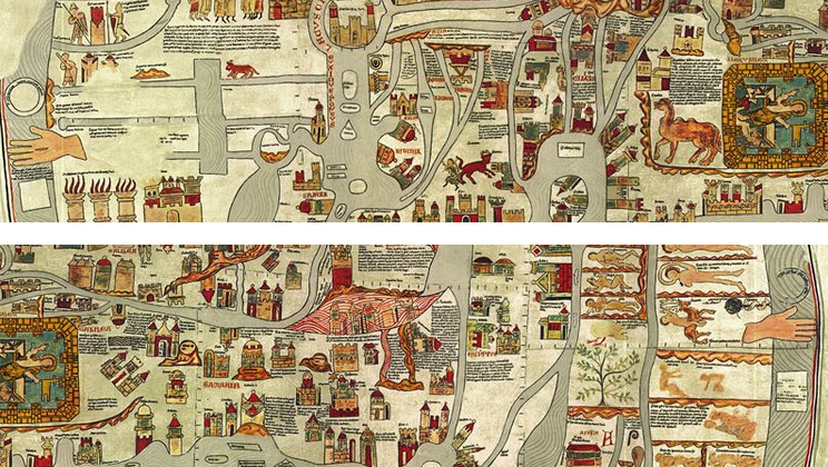
In the Middle Ages, it was rare for many people to lever leave the village in which they were born, so map-making wasn’t exactly in demand by the majority of the populace.
This collection of maps gathered by Retronaut show what the world looked like long before satellite imagery and the Age of Exploration, between the 11th and 14th centuries.
No wonder they’ve been dubbed The Dark Ages.


Comments are off for this post.